
mapSNAP PRO
Document your projects in a snap
What mapSNAP Pro does
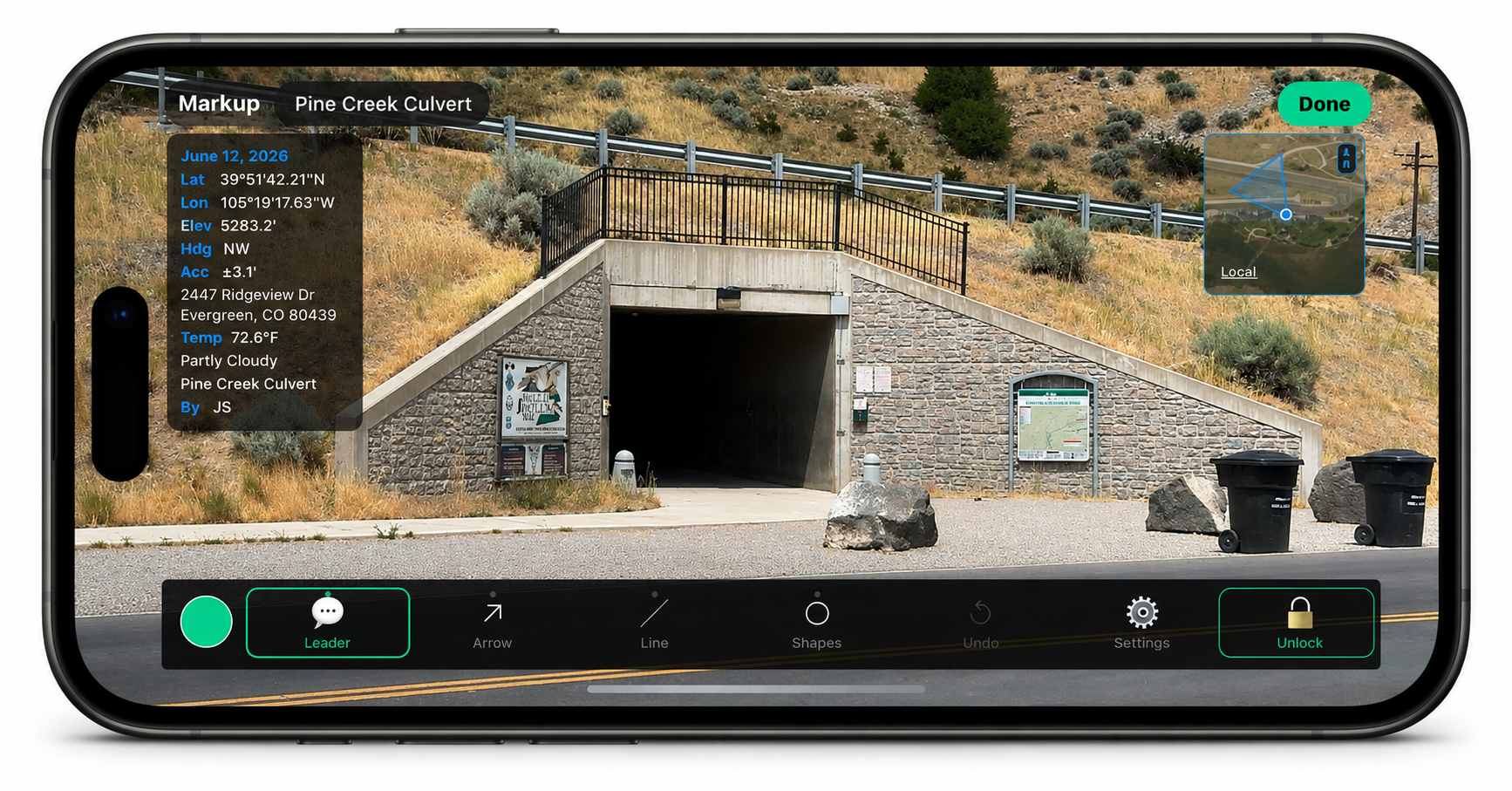
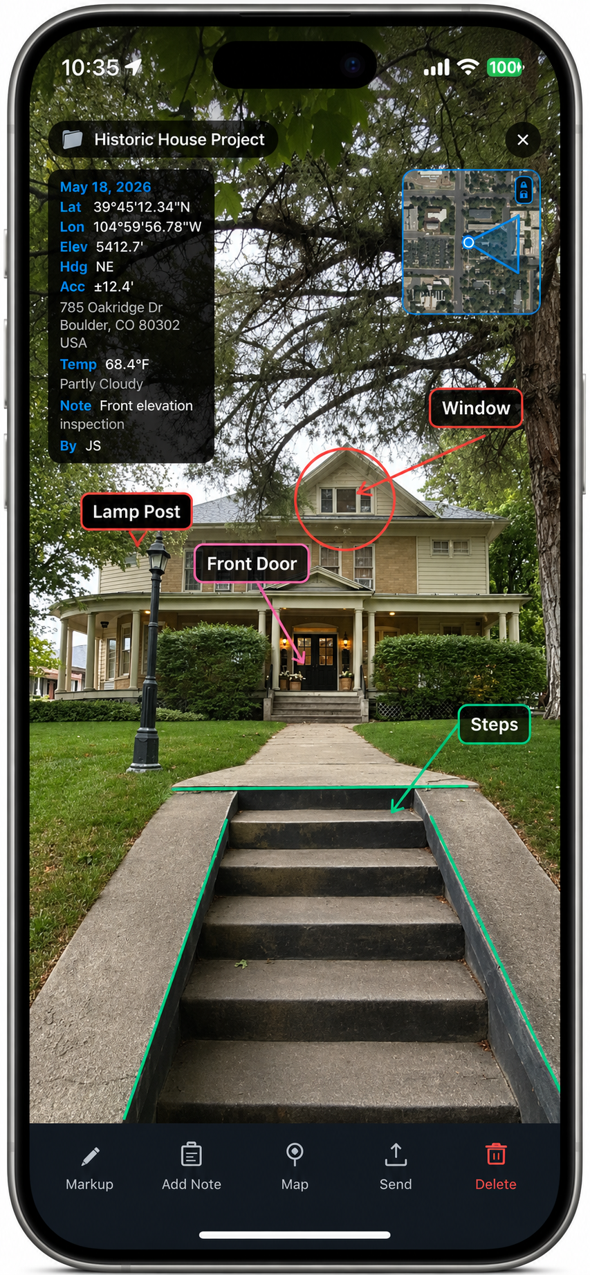
mapSNAP Pro turns your iPhone into a precision documentation tool. Every photo is automatically stamped with its GPS location, compass heading, elevation, and on-site weather, then filed under the right project — so you always have proof of where and when a photo was taken. It replaces scattered camera rolls and hand-written notes with a single, organized record you can hand straight to a client, adjuster, inspector, or office.
GPS-stamped photos — Location, heading, elevation, and weather burned into every shot.
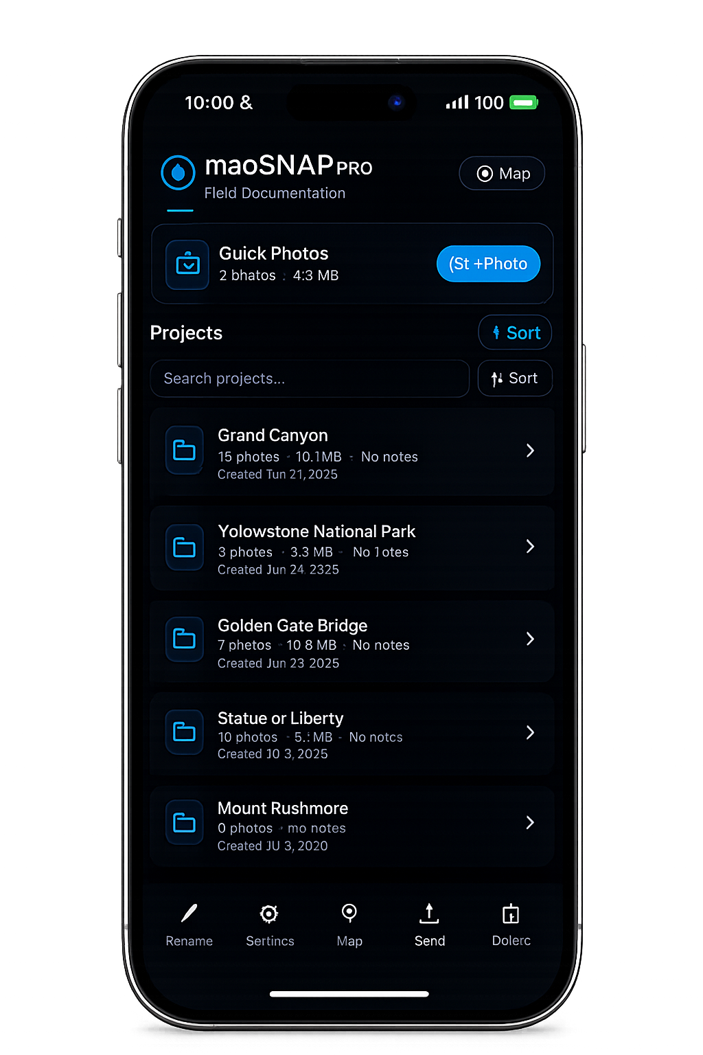
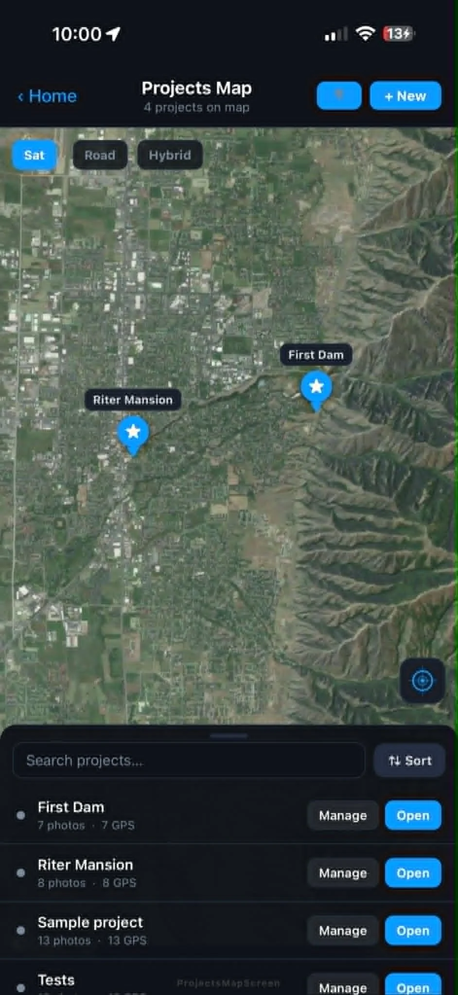
Projects & groups — Organize every job or site, and sort by name, date, or size.
Professional PDF reports — Clean, client-ready deliverables in one tap.
KMZ export — Share points and paths in Google Earth, anywhere.
Markup & annotation — Draw, label, and add notes right on your photos.
Built for the field — Works in portrait or landscape, bright sun, and spotty signal.
Built for contractors, inspectors, engineers, real estate and insurance pros, utilities, surveyors, and anyone who documents the field.
mapSNAP PRO LLC
For support and sales contact at: nmigliori@mapsnappro.com